RTK in Agriculture

Search

Real Time Kinematics (RTK) is a GNSS satellite data correction system used in agriculture to ensure that land surveys, agricultural inspections, and maps are accurate to real life.

Without RTK corrections, GNSS satellite data collected by base station receivers can contain clock errors, orbit errors, satellite biases, atmospheric errors, and multipath – where satellite communications bounce off structures before they get to the receiver. RTK filters out these errors and sends off satellite data now accurate to 1cm of the position of real-life objects.

Why does the agriculture industry need corrected satellite data?

GNSS satellite data is used for both broad-acre applications and specific applications in agriculture, including for:

  • Drainage
  • Drip irrigation
  • Land levelling
  • Strip tiling
  • Planting
  • Seeding
  • Spraying
  • Spreading

Broad acre agriculture

Corrected GNSS satellite data can help broad acre farmers to decide where drainage and drip irrigation systems need to be installed, where land needs to be levelled and to what degree, and where to plant, seed, spray, or spread crops in the most efficient way. Basing these decisions on accurate data specific to your land can save money in reducing lost crops and make money in informing land acquisition, expansion, and better crop management to maximise yields.

This data can also inform broad acre farmers on the productivity of the land, and how that land can be made more productive via levelling. Knowing the productivity of certain areas can inform more effective crop rotation, seeding, spraying, and spreading, and ensure farmers acquire land that they know will produce an ideal crop yield.

Horticulture applications

Horticulture farmers can use RTK corrected data to improve drainage systems and employ digital farmhands.

Improving drainage systems based on correct GNSS satellite data can reduce runoff, erosion, and drowning plants, and ensure all crops receive the amount of water they need. It can also inform where drip irrigation systems need to be installed to supplement where drainage systems cannot go.

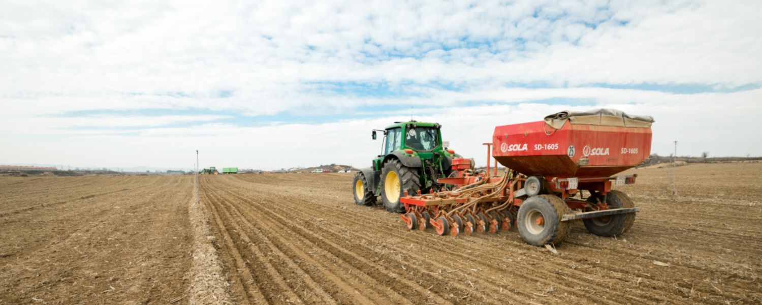
RTK is also being experimented with in the robotics industry, where field robots called “Digital Farmhands” are expected to use it to navigate through crop fields in real time, completing manual labour including fruit picking tasks. RTK- or MiRTK-integrated digital farmhands provide cost benefits in reducing the labour intensity of horticulture farming and increase the efficiency of the farm. Learn more about RTK in robotics here.

What makes RTK the ideal GNSS correction system for agriculture?

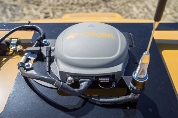
RTK is not the only GNSS correction system around – however not all correction systems are created equal. RTK is the ideal GNSS correction system as it provides accuracy of up to 1cm of real life objects and sends the corrected data off in real time. It can send the corrected data to a local receiver, such as one on the farm itself. And it corrects for atmospheric delays as well as the base set of corrections.

We provide cost effective RTK solutions across Australia. Learn more here.

Other systems, like SBAS, DGPS, and PPP are less accurate, take longer to initialise (send off the corrected data), and do not correct for the same range of possible errors that RTK does. These differences are important in agriculture as a longer initialization time makes these correction systems less applicable for using GNSS satellite data in real-time during spraying and spreading.

RTK is also more applicable than other correction systems for drainage and levelling purposes where the exact level of the ground can determine whether crops will suffer from overwatering or runoff. This is because RTK provides the most accurate data of all GNSS correction systems, which is especially important during post-processing and alignment for agricultural inspections.

RTK being used in agriculture

What about MiRTK?

Aptella supply MiRTK systems to farms across Australia. MiRTK systems improve upon RTK base stations by eliminating the need for a UHF radio receiver, where RTK corrected data is usually sent. Setting up a UHF radio receiver is usually the most frustrating part of using an RTK correction system in agriculture, as UHF radio receivers are usually less reliable in rural areas. MiRTK:

  • Removes the problem of radio interference usually found in rural areas
  • Provides the high bandwidth needed for RTK signals
  • Don’t require farmers to take up their schedule with learning how to manage a UHF radio receiver or licencing for one
  • Are more cost effective than traditional UHF radio receivers
  • Transmit to any location with Telstra coverage

MiRTK eliminates the barriers to using RTK-integrated systems for farming, and is suitable for businesses of all sizes, from broad-acre to horticulture farms. MiRTK systems can even be integrated into digital farmhands.

Get an MiRTK system for your next agricultural project from Aptella. For an obligation-free quote, just contact our friendly team.

Leave a Reply

Your email address will not be published. Required fields are marked *