
Following extensive market research and testing, one of Australia’s largest coal mines is set to increase productivity and safety by deploying Unmanned Aerial System (UAS) technology. Gary Robertson is a registered surveyor and senior engineer at a large coal mine in Central Queensland. His working teams have been nominated for Delivery Improvement Awards the past three years running, while he has been awarded ‘Young Professional of the Year’ at 2013’s Queensland Spatial Excellence Awards and nominated for the ‘National Individual Award’ at the upcoming Asia-Pacific Spatial Excellence Awards. Mr Robertson has a unique ability to discover ways in which the latest technology can be adapted and intertwined to benefit mining productivity. For example, he recently worked with technology

Topcon’s new range of 3D GPS systems specifically designed for excavators, scrapers, compactors, loaders and dozer A new range of ‘indicate-only’ 3D GPS systems from Topcon offer greater flexibility for contractors to add machine control to all plant on the job. Topcon’s i-33 system for dozers, scrapers, compactors and loaders and X-63i system for excavators have been designed specifically for bulk earthworks. They combine state-of-the-art 3D positioning technology with a price point that is around $20,000 less than 3D GPS systems designed for high precision work such as grading. “Although 3D machine control for bulk earthwork machines has been available for some time, it was originally designed for higher tolerance work,” explained Harry Katsanevas, Business Manager of Machine
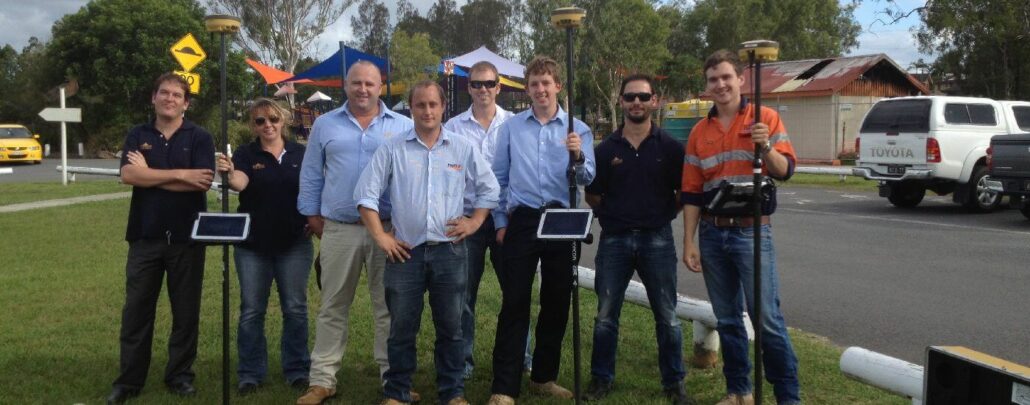
Queensland engineering firm RPMS Engineering specialises in project management, civil engineering and construction supervision services throughout Queensland and New South Wales. Recently, the company has adopted the latest in GNSS survey technology in order to extend its capabilities to regional councils by offering asset management and other surveying services. RPMS Senior Project Manager Ken Laughton explained that the equipment the company had been using previously had become dated and that the time to upgrade was overdue. He said that it was imperative that during their transition to their new Topcon HiPer V GNSS base and rover kit, that the company didn’t suffer much down time with their existing project work. “It was important that we chose a supplier