Accurate by design – combining UAS and scanning for 3D modelling
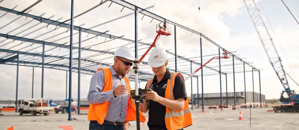
How a combination of Autodesk 3D modelling software, FARO laser scanning and the SIRIUS Pro UAV enables smarter infrastructure decisions. Most large infrastructure projects go to tender without accurate information of the existing site. Surveying as built or green acre sites is traditionally a lengthy and expensive process that takes weeks and sometimes months to complete, depending on the size of the project. Utilising the latest in scanning, aerial mapping and 3D visualisation and modelling software, businesses are able to save significant time and money, sending optimised designs to tender with the most accurate real-world data at their fingertips. “3D documentation solutions are now at a price point and useability level that make them a viable option for