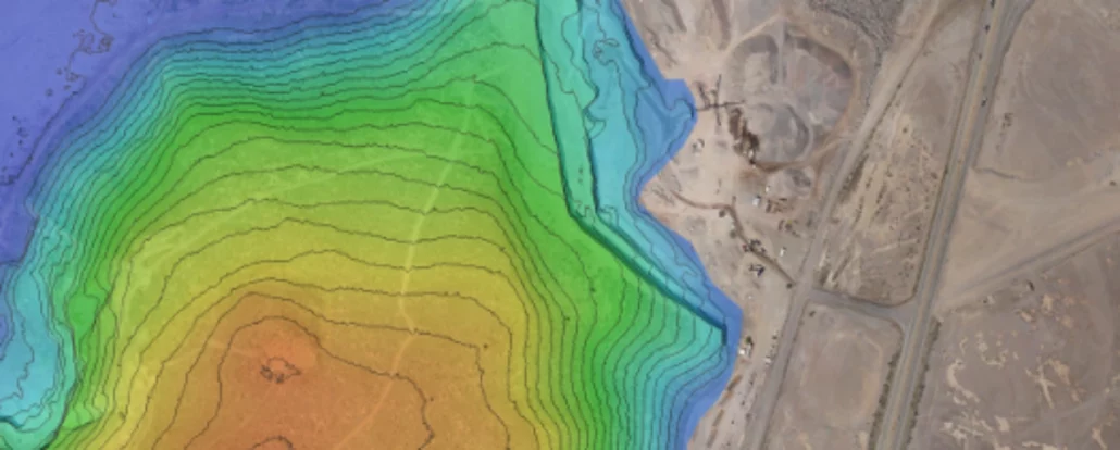
Solving drone workflow issues using Agisoft Metashape One of the more difficult aspects of using aerial survey drones is coming up with accurate drone positioning. You can’t always get every step of the process done efficiently, especially when drone and data functionality rely heavily on factors that are largely dependent on software. No two projects are exactly the same, and this variation of factors will always result in different data outcomes. We know that gathering accurate data is essential for surveyors using survey drones, and that processing workflows can add another layer of complexity. Aptella understands how best to overcome these setbacks and gain consistent data. So, we’re going to narrow down how we can play a part
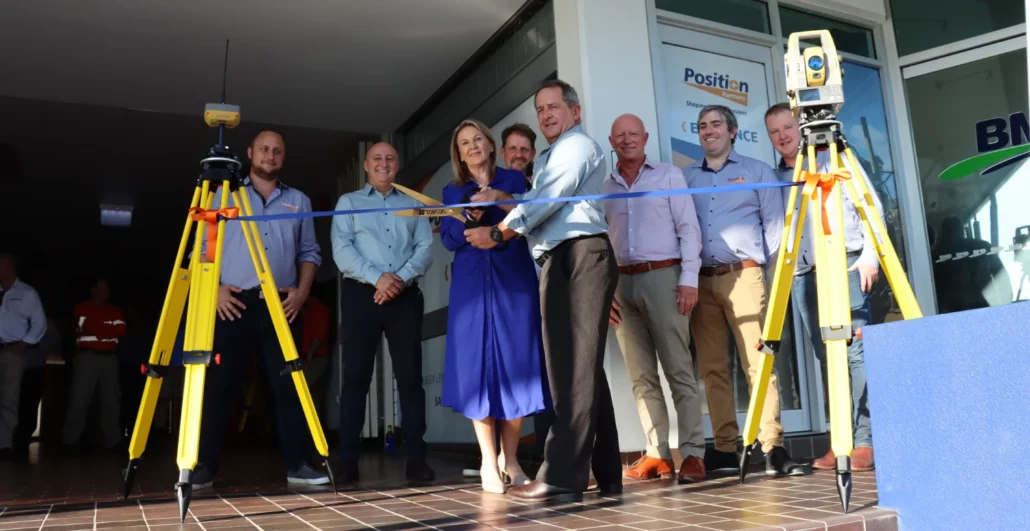
Aptella announces the opening of a new branch in Townsville, offering customers in the building, civil, resources, and geospatial industry local access to a wide range of solutions and services. “We’re excited to welcome local customers to our new branch in Townsville today,” said Harry Katsanevas, Queensland Region Manager at Aptella. “Aptella is committed to supporting the industries we serve throughout metro and regional Queensland, through our branches in Brisbane, Townsville and support hubs in Mackay and Rockhampton.” As Topcon’s exclusive Australian distributor for positioning systems, Aptella complements Topcon’s range of retrofit machine control and survey solutions, with intelligent safety systems, on-board weighing, aerial and terrestrial mapping instruments, condition and vibration monitoring platforms and more. For the resources