Description
5cm accuracy with NO GROUND CONTROL
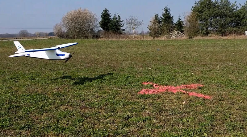
Placing Ground Control Points for aerial mapping with Remotely Piloted Aircraft (RPA) technology adds a signficant amount of time to the overall project. Often the area to be mapped is inaccessible, very large, hazardous or a combination of all three, which makes setting out ground control even harder.
A perfect example is in mine surveying, where mine surveyors face the challenge of conducting surveys, reconciliation and geological work in active areas with heavy machinery. The delays caused by shutting down plant and getting approvals cost you time and money.
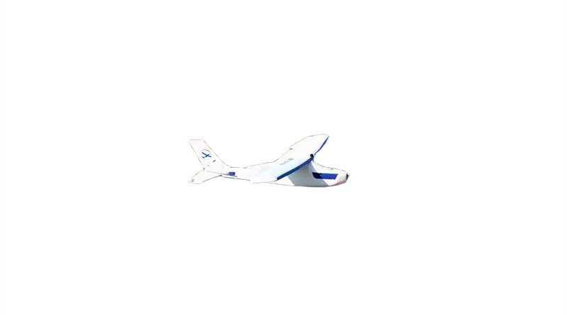
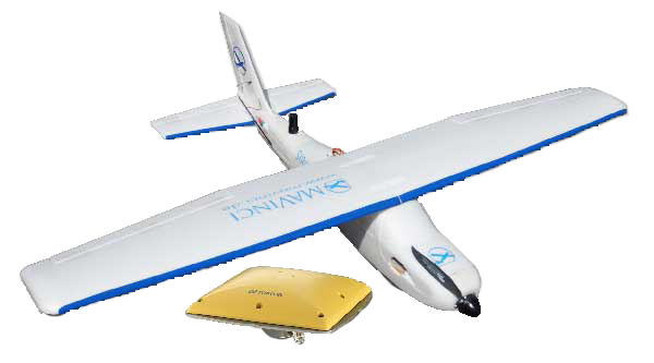
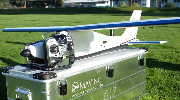
By combining MAVinci’s industry-leading SIRIUS UAV with Topcon Positioning Systems’ high precision GNSS technology, the SIRIUS Pro delivers the same accurate surveys that you can get with the SIRIUS Classic, without the need to set out any grond control points!
- Save time and work more efficiently
- Get high accuracy in hard to reach areas
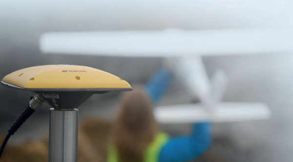
- Acheive precise surveying using the MAVinci Connector which acts as RTK base station
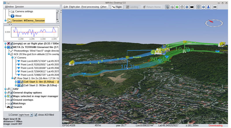
MAVinci 5.0 is now available!
MAvinci have released version 5.0 which includes a range of new features including:
- Full Automatic landing within a 5m radius (flat terrain & undisturbed airflow)
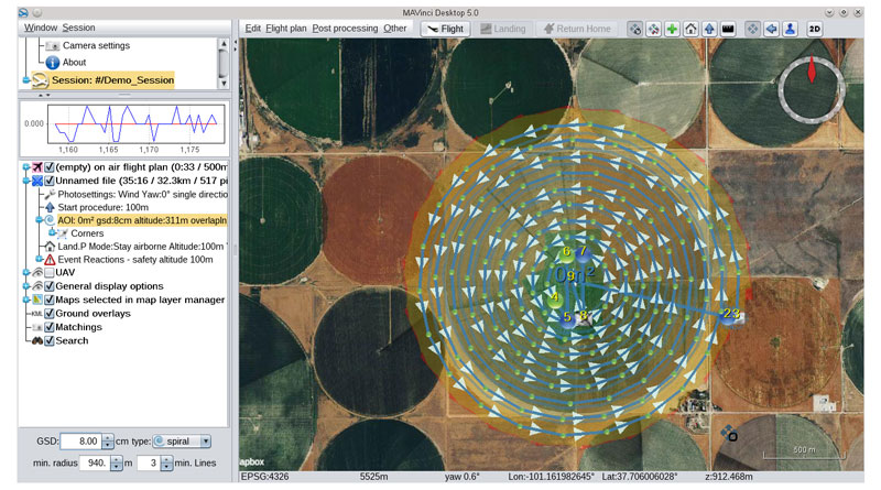
- New flight planning modes available including: Corridor Mapping, Full 3D Flight Plans and Sprial Flight
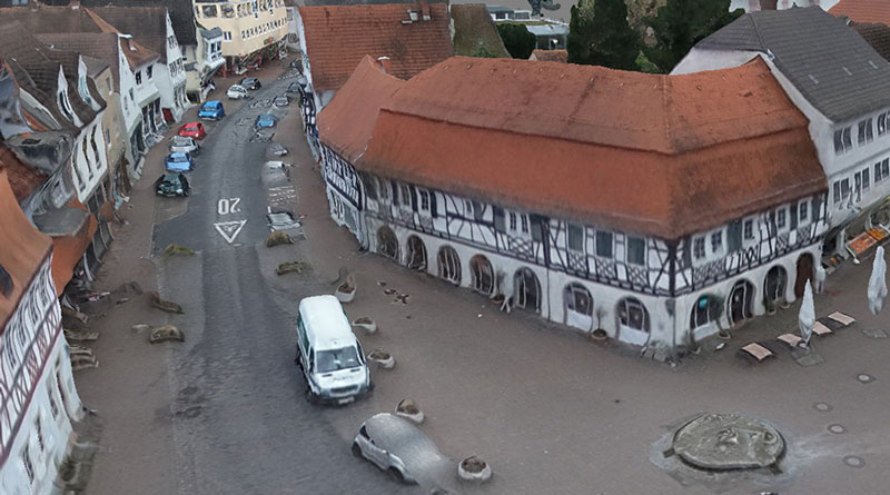
- City Mapping Add-on enables detailed 3D data set capture of building facades and vertical strutures
Other new features include:
- PhotoScan 1.2 support
- Batch export of matchings
- Automatic photo log download after flight plan ready
- RAW image processing work flow
- Translation into French and Russian
- Automatic adaption of motor RPM to takeoff altitude
- Post processing export to “3Dsurvey” – software
With an on-board L1/L2 GPS/GLONASS RTK receiver, the SIRIUS Pro uses the MAVinci controller on the ground as a RTK base station, that transmits corrections to the RPAS in real time. This enables the system to measure the camera position of each image so precisely that the GNSS signals act in a similar way to ground control points.
Imagine you add 1,000 ground control points to a project, uniformly distributed over the area you wish to survey. The SIRIUS Pro puts those ground control points in the air, so you do not have to manually place them on the ground!
Reviews
There are no reviews yet.