Description
Transfer, process and adjust your survey data
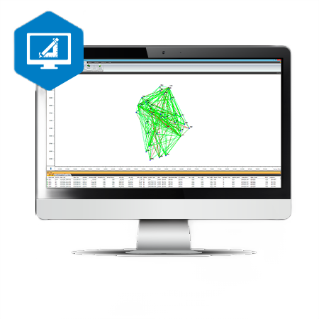
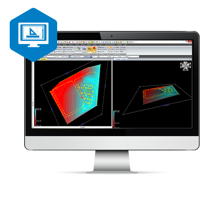
MAGNET Tools is a survey software workhorse, providing a gateway between your field data collection and office-based software platforms. It works with a large number of different file formats to give you the flexibility to work your data your way.
MAGNET Tools is used by cadastral, topographic, mining and engineering surveyors to manage their project data and connect each stage of the project via the MAGNET workflow.
Benefits of MAGNET Tools:
- Save time and combine data captured with total station and GNSS technology
- Customise it to suit your workflow with editable Code Libraries
- See the big picture with field work visualisation in Google Earth, 3D orbital view, CAD view and other options
- Maintain data integrity with automatic error checking
- Get reports that are meaningful to you with customisable reporting of field work
- Connect with your existing workflow using Bentley imodel or Autodesk AutoCAD Civil 3D
Reviews
There are no reviews yet.