Garry MacPhail, Geospatial Executive Manager for Aptella, reflects on technology evolution in the last two decades and its effect on the survey profession today and beyond. Having begun his career as a qualified engineering surveyor in the 1980s, Garry went on to start his own business selling and supporting survey equipment in Perth. His company Stadia Instruments – co-founded with business partner Bernard Cecchele – merged with four other state-based companies to form Aptella in 2008. In his tenure in the industry, Garry has witnessed significant shifts in surveying practice, amplified by the quantum leap in computing speed and processing power. Early 2000s – a step change in surveying “In the early 2000s, GPS was becoming increasingly mainstream
• The technology now streamlining the surveying profession has become financially viable for all survey practices – irrespective of size. • Australia’s nascent Space Agency will contribute to the success and speed with which local industries can leverage the potential from space related infrastructure. Aptella’ CEO, Martin Nix, has been an active contributor to Australia’s surveying profession and its adoption of technology since the mid-‘80s. Here he comments to the latest in satellite navigation systems and the potential impact of the Australian Space Agency. Surveyors first to use positioning frameworks I’ve been involved with GNSS (Global Navigation Satellite Systems – the generic term rather than the US system specific term- GPS) from the mid-80s. Surveyors were the first
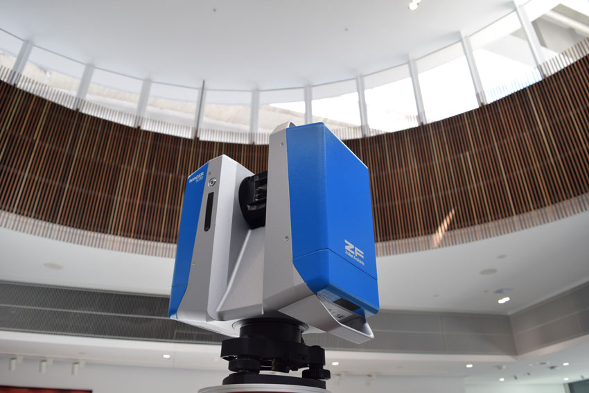
Zoller + Fröhlich (Z+F) 3D laser scanning solutions to be sold and supported by Aptella across Australia, New Zealand and Papua New Guinea. Intelligent positioning systems provider Aptella announces the company’s appointment as master distributor for Z+F, a German-based electrical engineering firm that manufactures a wide range of precision industrial instruments including 3D laser scanning systems. Under the agreement, Aptella will be the primary contact for all sales, support and service enquiries of Z+F laser scanning products in Australia, New Zealand and Papua New Guinea (PNG). “We are delighted to announce this extension of our partnership with Z+F, which will offer customers local and reliable sales, service and support capabilities from our branches throughout the region,” said Martin
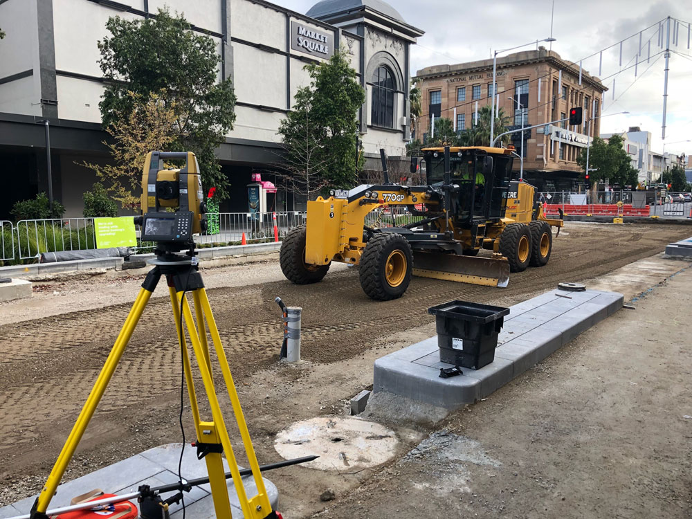
According to the Department of Jobs and Small Business, many employers are unable to attract surveyors to fill their vacancies due to a shortage of surveyors in South Australia, Victoria, metropolitan Queensland, and urban and regional NSW. To reduce the impact of this skills shortage on your business, implement the Topcon LN-100 3D positioning system from Aptella on your site and do the survey work yourself! The LN-100 layout navigator is a single operator solution for a precise 3D layout that enables you or anyone else you have working on site, to layout construction designs and checks work with survey accuracy! It reduces, or even eliminates, the need for a surveyor for setout tasks and lets them focus
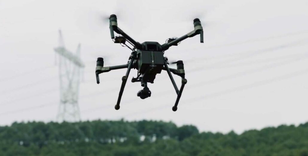
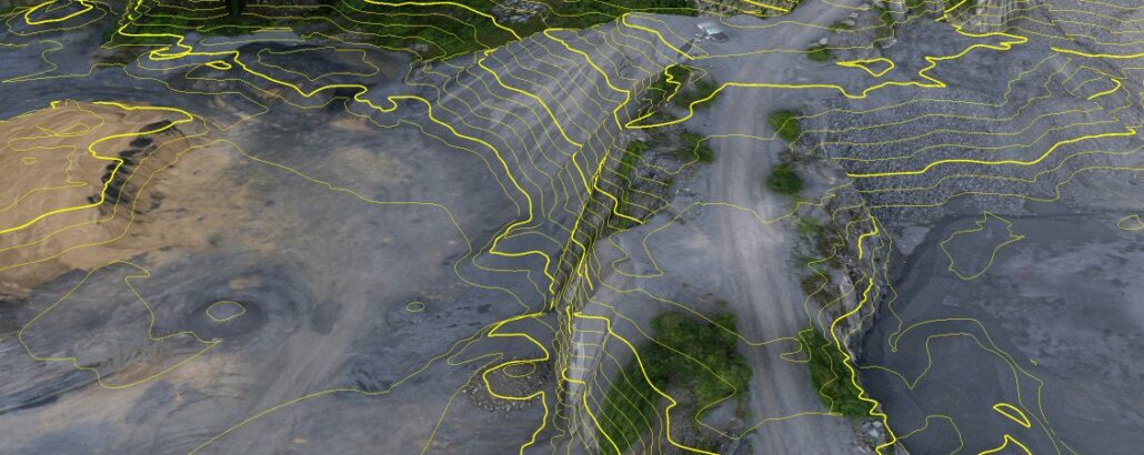
Remotely Piloted Aircraft imagery software such as Pix4D converts thousands of aerial images, taken by an RPA system, into georeferenced 2D mosaics and 3D surface models and point clouds. The images generated from this software can be used in various industries. RPAS for Mining RPAS are used globally across mining sites to monitor changes to open pit mines. Images collected on mining sites are converted using imagery software into accurate, georeferenced 3D point clouds, digital surface models and orthomosaics for precise 2D measurements and stockpile volume calculations. Mining companies can monitor extractions, distribution and disposal. Measuring breaklines creating contour line models and conducting quality assessments, with direct access to the quality of the results via detailed reports generated
Stanwell Park – January 2019 by Gavin Docherty Between 1890 and 1900, in the sleepy seaside town of Stanwell Park, Lawrence Hargrave tirelessly experimented with his flying contraptions. He was one of only a small handful of aeronautical pioneers around the globe attempting to make manned flight a reality. As he sat on the dunes of Stanwell Park beach he studied the flying seagulls and realised that there was no magic to flight, just engineering. Although he was focussed on recreating the flapping motion of the wings for many years using a rotary engine, it was only when he realised it was possible to soar the updraft with a fixed wing that he made major progress. After several
Adam Burke, Aptella’ Geospatial Manager NSW It’s now a matter of rethinking the structure of survey practices or being left stranded, short staffed and priced out of the market. Stating the obvious – there’s a shortage of qualified surveyors A 2018 BIS Shrapnel study quantified what we’ve all been experiencing in recent years, and what is about to worsen dramatically. Nationally, globally in fact, there’s a dire shortage of qualified surveyors. In NSW alone, there is a current shortfall of 530. This is tipped to reach 680 by 2024. The impact is being felt across a number of industries – construction, mining and general spatial sectors – and there’s a delay and cost knock on effect to our
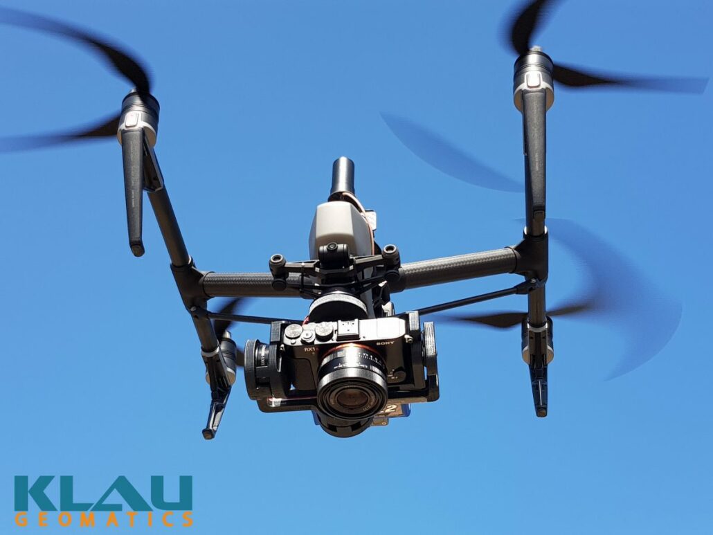
Klau Geomatics has released a Sony camera/PPK payload to offer even better results from these drones. This enables more effective and accurate mapping and inspection using superior quality, plug and play camera payloads with precise 3D positioning accuracy. Quality cameras Sony, leaders in camera technology, have a number of quality cameras, proven to generate high quality mapping from drones. Models such as the RX1r2, a6300 and a5100 all have large sensor, leaf shutters and no moving internals to affect camera calibration. An RX1r2 will cover twice the area of an X4s in each photo, at the same GSD. At 42 megapixels, this is a lot of data in each photo. But it’s not just about megapixels. Selected Sony