On Demand Webinar – Overcoming the Challenges of Surveying Large Areas
Did You Miss Our Webinar? Don't Worry, You Can watch Our On-Demand Webinar
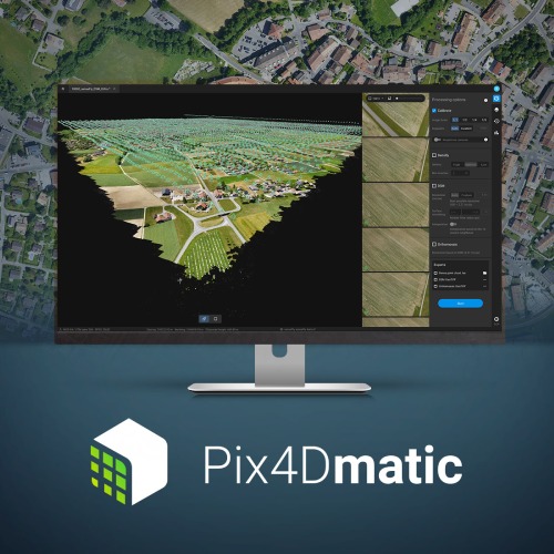
In this webinar, you’ll learn how Pix4D’s new geospatial solutions – Pix4Dmapper, Pix4Dmatic and Pix4Dsurvey – can help to optimise the surveying and mapping workflows to achieve accurate results and get the relevant information your team needs.
Key topics:
– Photogrammetry pipeline: processing your data into accurate point clouds, digital surface models (DSM) and orthomosaic
– Creation of engineering-ready CAD files from photogrammetry projects