- Capture: RGB, thermal or multispectral images with any camera
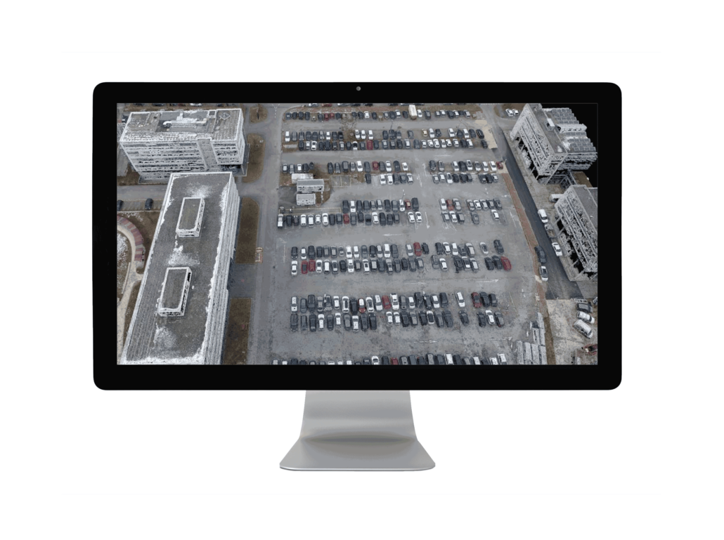
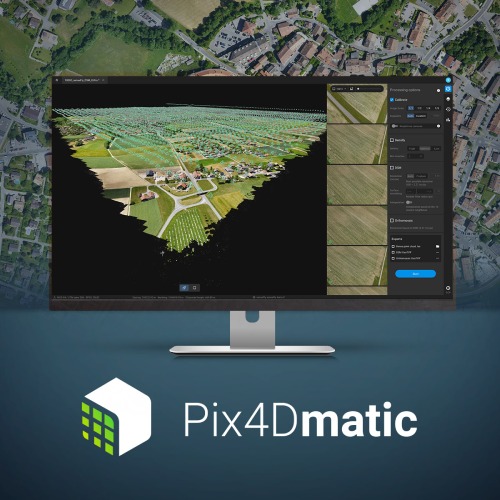
- Ditigise: Process your survey drone data into digital maps or 3D models
- Control: Unique rayCloud environment helps you check and control the quality of your data
- Measure & Inspect: Quickly and accurately measure distances, areas and volumes in a digital environment
- Collaborate & share: Safely and securely share projects with key