Description
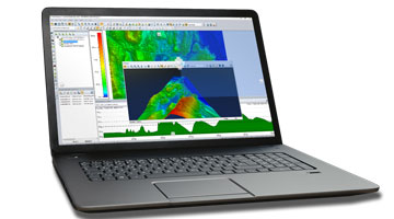
Global Mapper is an affordable and easy-to-use GIS application
Global Mapper is a major player in the GIS industry. Offering a comprehensive assortment of data visualization, processing, and analysis tools, Global Mapper is redefining the very nature of GIS by dismantling the cost and usability barriers inherent in traditional GIS applications.
Overview:
- Low-cost and easy-to-use GIS
- Supports more than 300 spatial data formats
- Optional LiDAR Module for powerful point cloud processing
- Advanced projection management using GeoCalc library*
- Unmatched technical support
*requires a current Geographic Calculator License.
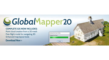
Global Mapper v20 is now available.
Highlights of Global Mapper v20 include:
- A powerful new function for creating a point cloud from a 3D model or mesh
- A new free-flight visualization option in the 3D View providing a first-person game-like perspective when moving through the 3D environment
- A new raster eyedropper tool for selecting a color for transparency assignment or vector extraction
- Several new Map Layout tools including legend filtering and custom map book creation based on features selected on the map
- Expanded touchscreen functionality with support for panning and zooming
- Performance and processing improvements, especially when working with large vector files
- A streamlined licensing process providing users access to their online account from within the software
Highlights of the LiDAR Module v20 include:
- A new tool for creating a 3D model surface from selected LiDAR points
- Support for spatially thinning a LiDAR or point cloud layer
- A new raster eyedropper tool for selecting a color for transparency assignment or vector extraction
- A new option for extracting buildings from LiDAR as 3D models rather than 3D vector features
- A new tool for gridding LiDAR Data by Classification
Offering access to an unparalleled variety of spatial datasets, Global mapper provides a high level of functionality to satisfy both the experienced GIS professionals and beginning users. Global mapper can be used as a standalone spatial data management tool or as an integral component of an enterprise-wide GIS.
A Low-Cost GIS Alternative:
By providing a complete GIS data management and analysis application, right out-of-the-box, Global Mapper simplifies the deployment of spatial technology in your company or organization. There’s no need to juggle extensions or costly add-ons to gain access to the functionality that you need. Global Mapper’s aggressive development and release cycle ensures that the product grows with you as your needs and requirements change. Now you can unblock the GIS dataflow logjam by providing a workable GIS software tool for everyone who needs access to this critical data.
At a fraction of the cost of traditional GIS alternatives and with free set-up and general use support, as well as flexible licenses including single seat, network and USB Dongle licensing, there’s no reason not to add Global Mapper to your GIS toolkit.
Reviews
There are no reviews yet.