One of the more difficult aspects of using aerial survey drones is coming up with accurate drone positioning. You can’t always get every step of the process done efficiently, especially when drone and data functionality rely heavily on factors that are largely dependent on software.
No two projects are exactly the same, and this variation of factors will always result in different data outcomes. We know that gathering accurate data is essential for surveyors using survey drones, and that processing workflows can add another layer of complexity. Aptella understands how best to overcome these setbacks and gain consistent data. So, we’re going to narrow down how we can play a part in optimising your drone’s workflow.
There are three elements of optimisation we offer that will help your workflow process. Take a look at what our Be-In-Control package offers.
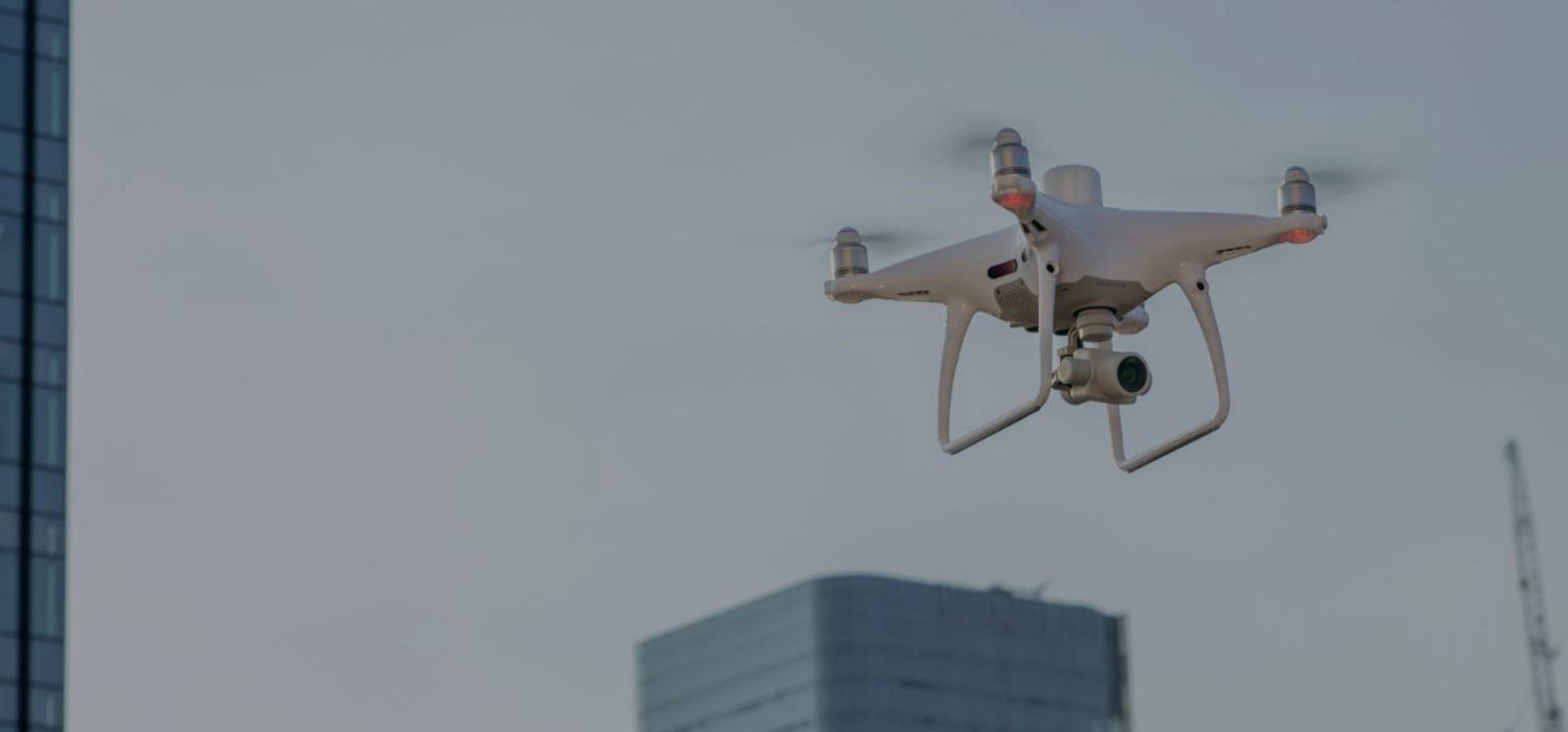
Aptella’ Be-In-Control package includes the DJ1 Phantom 4 RTK aerial survey drone, which is strikingly intelligent. Adding this drone to your fleet will immediately upgrade your mapping and surveying results. The Phantom 4 raises the bar for drone accuracy, offering centimetre-accurate data. The Phantom 4 promises to deliver highly accurate metadata when taking photos by fixing positioning data to the optical centre of the lens. This, in turn, will optimise the photogrammetric methods you use when surveying. The Phantom 4 RTK is able to fit to any workflow, and users can easily import KML/KMZ files for further optimisation.

Agisoft Metashape is a stand-alone software that makes easy work of drone workflow issues. Aptella understands the importance of simplifying your drone’s data processing process, which is why we include the most high-powered processing software in our package. Agisoft Metashape promises fast and accurate results when performing photogrammetric processing.
Some of the more general procedures involved in common workflow steps, like lens calibration can be skipped, as Metashape calculates these parameters automatically. The customised menu offered will also simplify your workflow. If you’re looking to optimise workflow processing, this software will work in your favour. We understand that you want to cover all bases and ensure you are in control of optimising all elements of your drone data, which is why we’ve carefully considered what will benefit you most.

Virtual surveyor is a program which creates a visualisation of collected data from your drone. It’s an efficient way to gather and display clean data without sacrificing quality. All the data you can’t make sense of is simplified by Virtual Surveyor, which works best specifically in civil construction spaces. You can learn more about Virtual Surveyor in our other blog post here.
Processing of images with Metashape includes the following main steps:
Step one: Loading photos into Metashape
Step two: Align images
Step three: Build out a high resolution orthophoto and dense model
Step four: Export your results
If you’re looking to optimise your workflow, we’re eager to lend a hand. Every part of your drone’s surveying process should be quick and easy, removing all the hassle of setbacks and long processing times. To overcome drone workflow issues when using aerial survey drones, Agisoft Metashape will come especially in handy with minimising the steps involved in workflow outcomes. The Be-In-Control package that we offer at Aptella will deliver results, because clean and quick data is as important to us as it is to you. We want to see our systems make you happy, so we encourage you to prioritise efficiency by using the best processing equipment available. Reach out to our experienced team today if you have any further questions.

We source, deploy and support intelligent positioning solutions to enhance our customers’ productivity.
Aptella Pty Ltd
ABN 56 130 367 065
2024 Aptella Pty Ltd | ABN 56 130 367 065 | Terms and Conditions | Privacy Policy