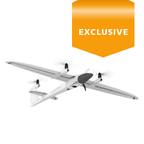
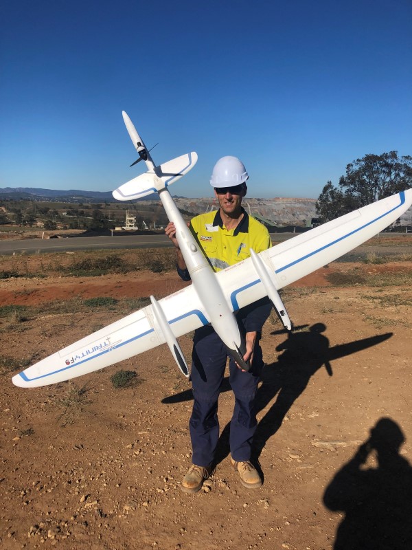
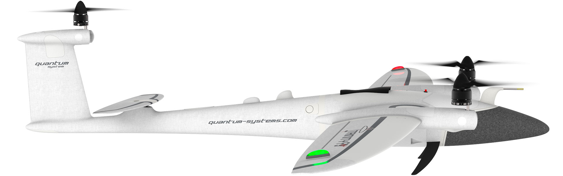
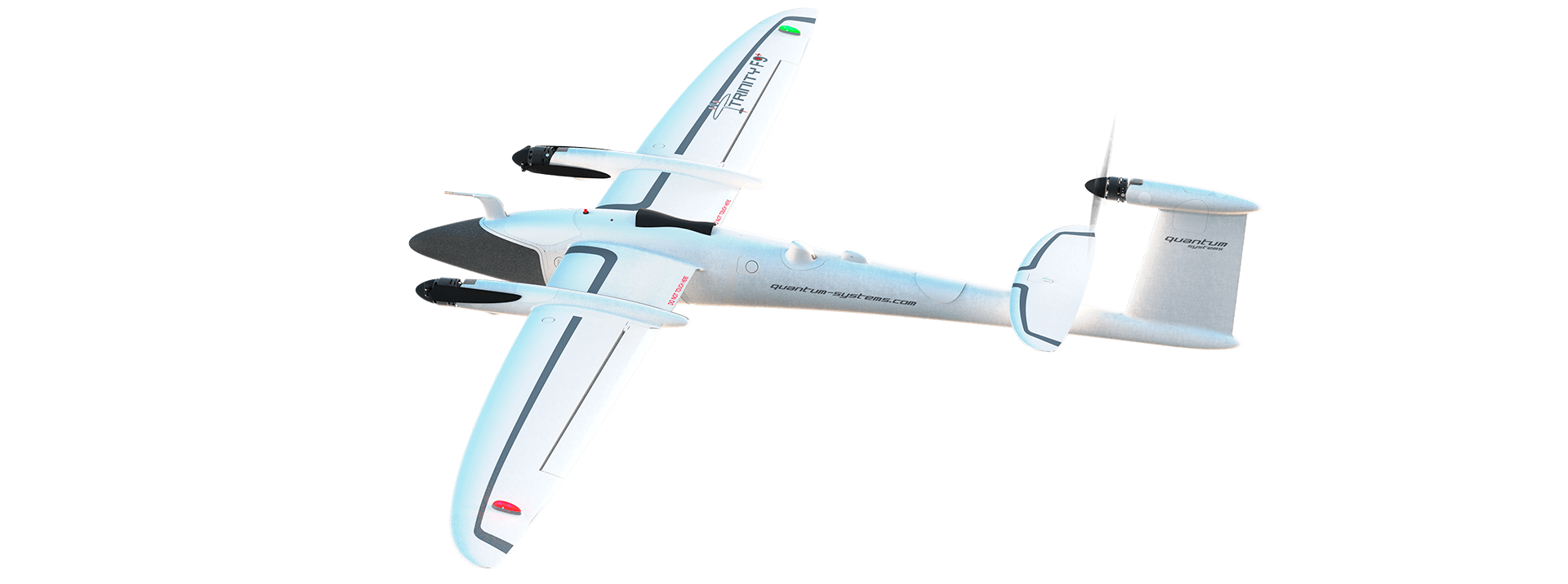
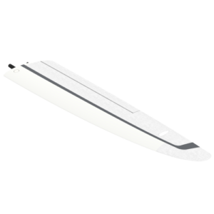
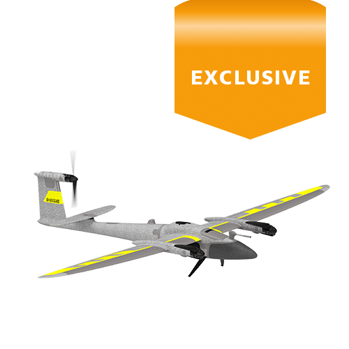
With industry-grade durability and in-flight stability, the Trinity F90+ from Quantum Systems is suitable for the most complex and challenging of projects with safe landing and take off using vertical take-off and landing (VTOL) technology.
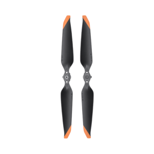
Eliminate the risks to both aircraft and personnel that hand launch and glide-to-land fixed-wing aircraft have. Quantum’s Trinity F90+ uses small propellers during take off and landing to give a smooth and safe vertical take-off and landing.
High performance, high accuracy aerial mapping solution combines the vertical take-off and landing (VTOL) Trinity F90+ drone, Propeller AeroPoints ground control and software. Available throughout Australia, New Zealand and Southeast Asia from Aptella.
Propeller is a leading supplier of cloud-based aerial mapping software and smart ground control points, AeroPoints, that enable high accuracy, post processed kinematic (PPK) data for survey drones.
Propeller has now announced a partnership with Quantum Systems, a German-based manufacturer of the Trinity F90+ survey drone. The agreement enables Trinity F90+ users to integrate the Propeller PPK workflow to their aerial mapping projects, utilising the AeroPoints ground control and web-based Aero software. Likewise, Propeller users can now integrate the leading vertical take off and landing solution to their fleet with the Trinity F90+.
It sets the bar for accurate, long range, survey grade aerial mapping. Available.
PPK and RTK (post-processing kinematics and real-time kinematics) are the algorithms that allow the user to avoid any GNSS errors via processing data from two receivers that are in close proximity to one another.
They share the same common errors for most error sources such as ionospheric and tropospheric influence on the signal transmission, satellites ephemeris and clock errors.
As it is clear from the names, RTK is performed in real time, PPK is achieved via post-processing of the data.
When properly applied, these algorithms reduce positioning errors from several meters (typical for standalone GNSS receivers) down to centimetres.
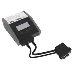
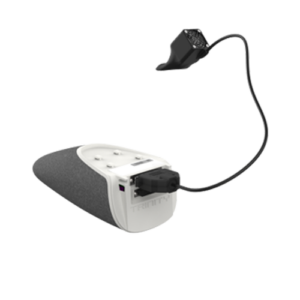
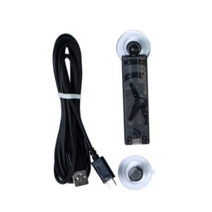
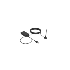
iBase is an entry level GNSS reference station. It automatically logs GNSS reference measurements on the ground to a file on a micro SD card. This file enables QBase3D to do PPK processing of the collected survey data with a absolute accuracy of 2 – 5 cm.
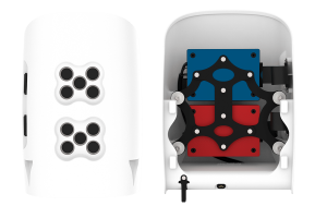
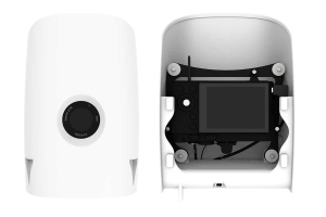
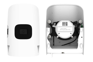
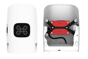
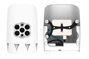
Quantum Systems uses integrated sensors that are shock-protected, with SD cards that are easily accessible from the outside. Both are powered by Trinity’s battery, and accurate geotagging is achieved by measuring the exact trigger point. The combination of hardware and software guarantees maximum precision and the best results of any competing solution.
This surveying drone has been designed for industry, delivering professional survey-grade results.
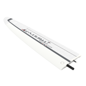
You can see the result in every detail, such as the optimised electric layout, the efficient cargo container or the clean finish of the outer shell. It truly showcases the best of German engineering.
The ability to switch to gliding mode enables the Trinity to directly benefit from an enhanced long range capability. We dedicated many hours to optimize the wing geometry to push the glide ratio to an astounding 14:1!
Using only one specially-designed motor in the rear fuselage increases the flight time far beyond current industrial RPAS’s by reducing energy consumption to a minimum.
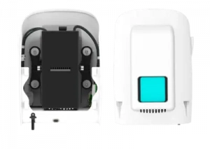
The Trinity surveying drone comes “ready to fly” (RTF) in a moulded transport case which offers enough space for the whole package with room for two optional battery packs, accessories, and a tablet PC.
A padded cover with convenient carrying options makes it easy to transport the package to the farthest operation area. At a size of 100 x 83 x 27cm it can be stowed away easily.
Enquire more about the Trinity VTOL solution today – available throughout Australia, New Zealand and Asia from Aptella.
| Max. Take-off Weight | 5.0 kg (11.0 lbs) |
| Max. Flight Time | 90+ min* |
| 60 min (locked) | |
| Max. Range (Area Coverage) | 100 km = 700 ha |
| (62 mi = 1730 ac) | |
| Maximum Flight Altitude (MSL) | 4500 m (14763.8 ft) |
| Command and Control Range | 5 – 7.5 km** (3.1 – 4.7 mi) |
| ** under optimal conditions | |
| Payload (with compartment) | max. 700 g (1.54 lbs) |
| Optimal Cruise Speed | 17 m/s (33 kn) |
| Wind Tolerance (ground) | up to 9 m/s (17.5 kn) <1500m MSL |
| up to 7 m/s / (13,6 kn) 1500m – 3000m MSL | |
| up to 5 m/s / (9.7 kn) >3000m MSL | |
| Wind Tolerance (cruise) | up to 12 m / s (23.3 kn) |
| Battery Weight | 1.5 kg (3.3 lbs) |
| Telemetry Link & RC Transmitter Frequency | 2.4 GHz |
| Telemetry Link (QBase Modem) Power | max. 100 mW |
| Operating Temperature Range | -12 °C to 50 °C |
| (10.4 °F to 122 °F) | |
| Wingspan | 2.394 m (7.85 ft) |
| Transport Case Dimensions | 1002 x 830 x 270 mm |
| (39.4 x 32.7 x 10.6 inch) |
The Qube 240 payload is a geomatics grade LiDAR Scanner for the Trinity F90+ UAS and it endures up to 60 min of flight time with this combination.
This double payload combines the sophisticated Sony UMC R10C RGB camera with the MicaSense RedEdge-MX multispectral camera.

Twice the spectral resolution in a single, convenient and user friendly payload option. No longer just for the multicopters!
Orthophoto and DEM
Point clouds & 3D models
1.29cm/px @ 100m altitude
Orthophoto and DEM
Point clouds & 3D models
2.66cm/px @ 100m altitude
RGB data with 6.94cm/px @ 100m altitude
Multispectral data for vegetation analysis
1 flight = orthophoto (5 bands) and DEM and point cloud
Various indices for plant stress and health analysis
RGB data with 4.31cm/px @ 100m altitude
Multispectral data + thermal layer for enhanced analysis
1 flight = orthophoto (6 bands) and DEM and point cloud
Various indices for plant stress and health analysis
|
|
|
|
|
|
|
|
|
|
|
|
|
|
|
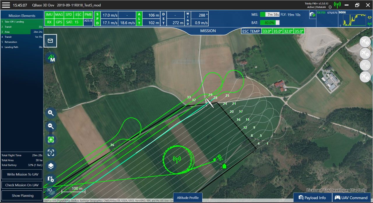
The most convenient software solution to plan surveying tasks with Quantum-Systems UAVs. QBase 3D is part of the overall Trinity™ F90+ package and can be operated intuitively and safely with no training required. QBase 3D efficiently generates precise and safe flight paths, saving valuable time for the operator, and produces reliable data for the operator for post- mission analysis.
Plan, execute or adjust your aerial surveying mission with confidence anytime, anywhere with just a few clicks.
QBase 3D automatically generates safe and precise flight paths after entering the mission parameters and no-fly-zones, giving the operator peace of mind.
QBase 3D saves valuable time over the entire workflow to complete a surveying job.
Mark Steggall –
I am continually amazed at the accuracy of the Trinity F90+ with little or no ground control points.
Quantum Systems’ constant updates and improvements makes this UAV an amazing product to be partnered with! I just love it!
Recent acquisition of the Altum payload means expansion of my business into the Ag market also which I’m very excited about
Thanks to the team at Aptella for the supply and continued support of these great products!!!
Tony Forde –
Have had a Trinity F90+ for 6 months now, have had nothing but great results. Windspeed over 7m/s is its only limitation compared to Fixed Wing, but being VTOL it is able to be used in many more applications where landing space is limited. Have had good support to date.