StreetCam3D – Precision 3D Mapping
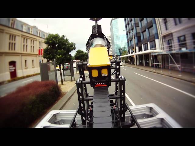
Terralink’s new StreetCam3D vehicle is capable of capturing over 1.3 million points of location data every second, driving at normal road speeds. When this high density LiDAR (Light Detection and Ranging) technology is combined with 360° imagery, the result is breathtaking – a realistic, highly accurate and measurable 3D model of the street environment. StreetCam 3D is a truly revolutionary solution for the cost effective, high-speed capture of 3D data and dynamic imaging for the following applications; environmental monitoring and planning, road infrastructure management, emergency planning and response, utilities and telecommunications asset management, surveying and engineering field capture and planning, civil defence and national security planning and preparedness.