innovative surveying equipment and geospatial solutions
Optimise productivity and minimise business cost of ownership.
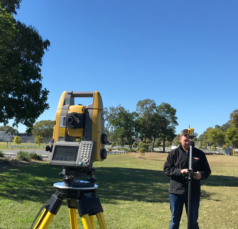
We supply and support surveying equipment and MAGNET Survey software to optimise productivity and utilisation of field staff and minimise business cost of ownership.
Our team of more than 250 people throughout Australia, New Zealand and South East Asia is committed to delivering exceptional customer service and outstanding after-sales support for land surveyors, architects, engineering surveyors and other geospatial professionals. We help keep your team in the field and productive with the industry’s lowest cost of ownership.
AllDayRTK is our subscription-based RTK network delivering high precision GNSS positioning with unsurpassed reliability throughout Australia and New Zealand. Tokara Link is our custom-designed remote support solution, offering you support, software updates and a range of other services on demand whenever and wherever you’re working.
Vertical Construction
If you’re a contractor or trades professional specialising in residential and commercial buildings including housing developments, apartment blocks, industrial or retail centres, Aptella offers a full suite of technology solutions to ensure your project runs efficiently and is delivered to a high standard of construction.
We work with land surveyors to provide a fixed per hour rate for your surveying equipment lifecycle, eliminating any surprise costs for maintenance and repairs, giving you absolute confidence over your business costs
From easy to use and accurate traditional survey gear, to AllDayRTK CORS network subscriptions, industry-grade UAV drones and innovations such as the Tiny Robot line marking robot, rely on us to source the latest and greatest tech from around the world and work with you to find a solution that fits your project needs.
Mass data capture solutions to create accurate 3D models of the built environment or landscape, including terrestrial 3D laser scanning and survey-accurate RPAS technology. As well as the tools to capture data efficiently and safely, Aptella offers a wide range of leading software solutions to enable geospatial professionals to analyse, model and report on data.
Aptella has a dedicated monitoring team committed to sourcing and supporting leading technology that is fit for geospatial professional purposes. Our condition monitoring systems are supported throughout the areas we service, including Australia, New Zealand and South East Asia.